From inspection data to a guaranteed structural lifespan
Most inspection platforms only show you what an asset looks like today. DIMCOST shows you how it will perform tomorrow.
By bridging the gap between drone-driven 3D mapping, AI defect detection, and advanced concrete degradation physics, we provide an end-to-end platform for managing reinforced concrete infrastructure.
3D inspection platform (drone-ready)
Spatial Intelligence for Complex Infrastructure
Gain complete spatial context for large, complex, or hard-to-reach concrete assets without risking field personnel.
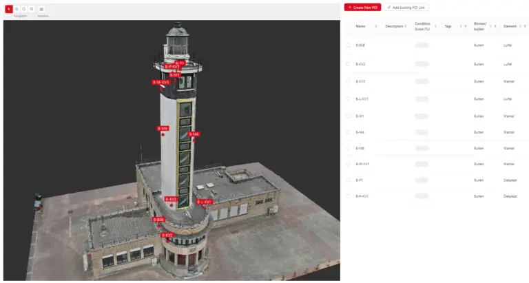
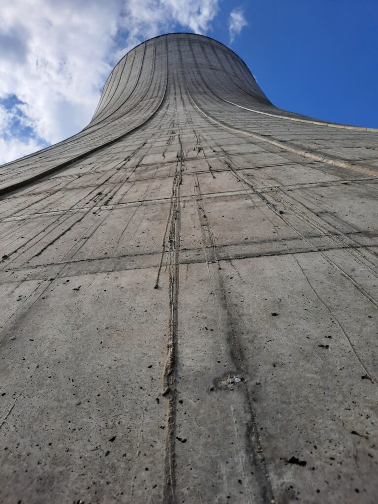
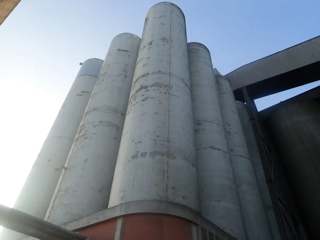
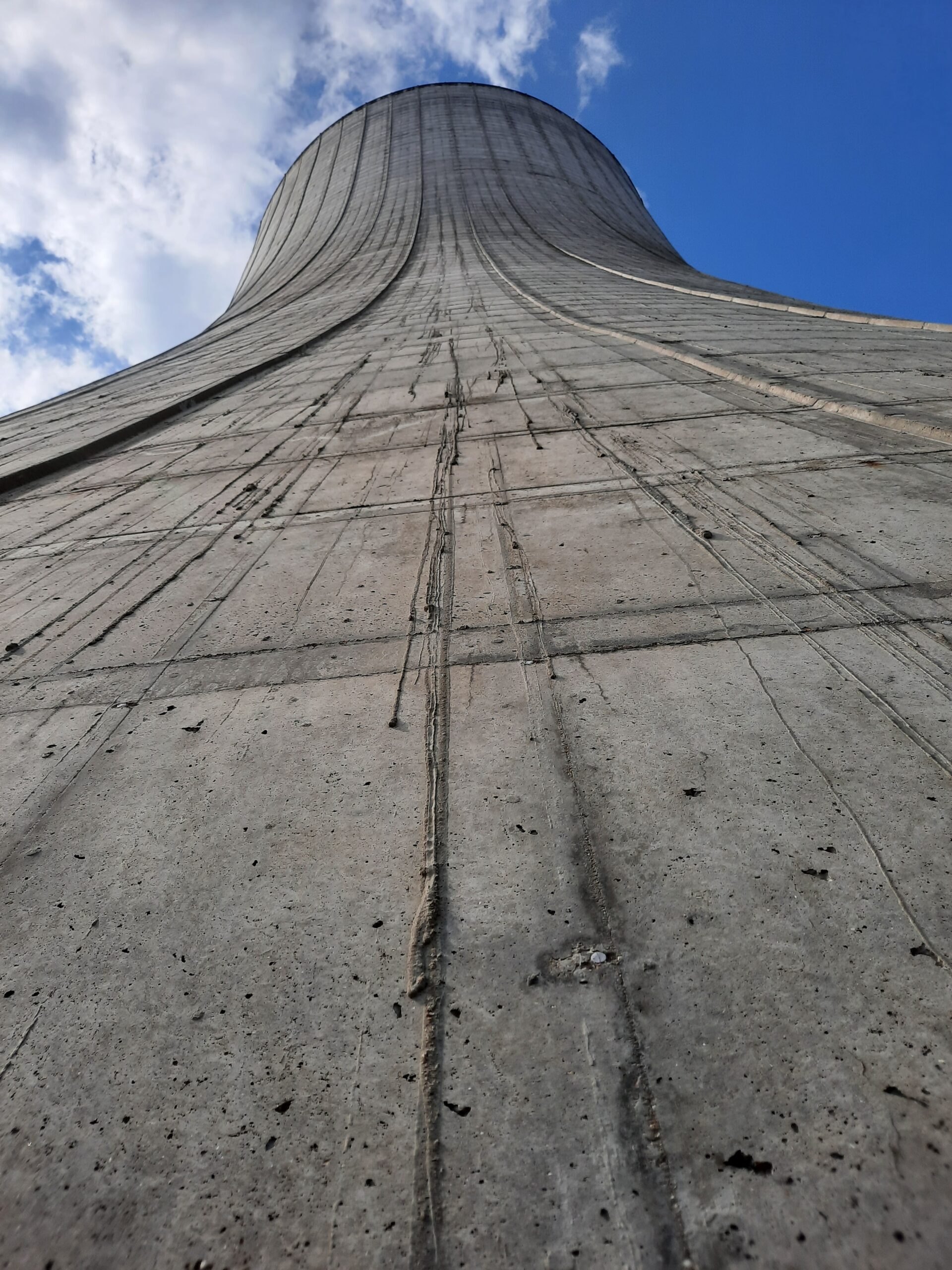
Drone-to-3D Pipeline: Turn aerial imagery and LiDAR scans into millimeter-accurate 3D digital twins (cooling towers, silos, bridge decks, and retaining walls). For drone-capturing solutions, we work together with Medexon (part of the SANACON group).
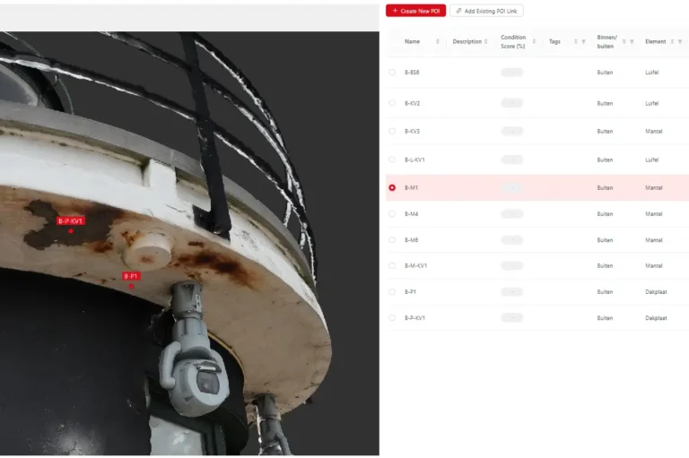
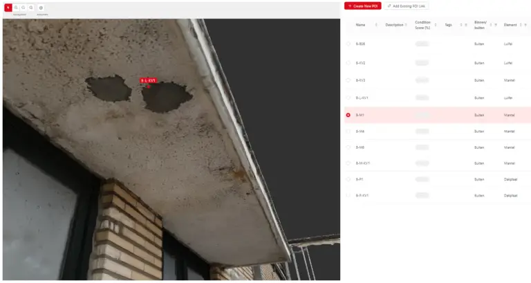
Spatial Defect Mapping: Overlay visual defects, NDT test locations, and core sample points directly onto the precise 3D geometry of the structure.
Temporal Tracking: Compare multi-year 3D models side-by-side to track crack propagation, spalling growth, and structural movement over time.
Data management
The Central Brain for Structural Integrity
Eliminate fragmented spreadsheets, scattered lab PDFs, and lost field notes. DIMCOST centralizes all physical, chemical, and visual asset data into a single, auditable digital twin.
Unified Diagnostic Vault: Seamlessly combine material lab results (chlorides, carbonation depth, core samples) with NDT and visual inspection logs. On-site testing and core drilling can be carried out by our sister company BETON+.
Standardized Workflows: Ensure inspectors, structural engineers, and asset managers work with standardized data structures across all assets.
Complete Traceability: Maintain an unalterable history of every test, repair, and inspection throughout the structure’s entire lifecycle.
AI-assisted analyses and automated reporting
Automate the Diagnostics, Focus on Decisions
Accelerate image processing, data correlation, and report writing while keeping full engineering control.
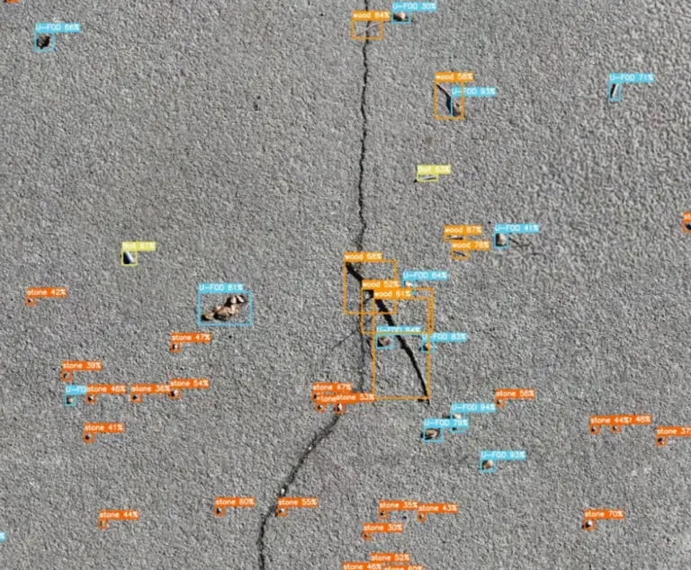
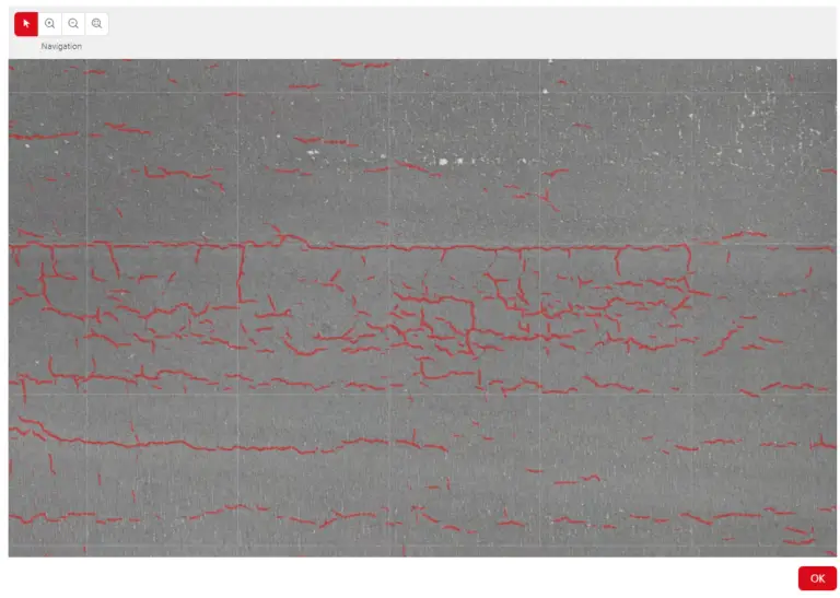
Automated Surface Defect Detection: Instantly identify, measure, and classify surface cracks, spalling, and efflorescence from high-resolution photo sets.
Smart Data Fusion: Correlate surface anomalies detected by AI directly with underlying material test results (such as internal chloride concentrations).
Automated Report Generation: Instantly compile raw field data, AI defect maps, 3D imagery, and lab analytics into client-ready, standardized engineering reports—cutting administrative reporting time by up to 70%.
Risk Prioritization: Automatically highlight critical structural zones so engineering experts spend their time evaluating solutions rather than manually sorting thousands of photos.
Service life estimation
Physics-Based Durability & Predictive Maintenance
Detecting a surface defect is only the first step. DIMCOST models the underlying material physics to calculate how fast degradation is spreading and when critical interventions are actually needed.
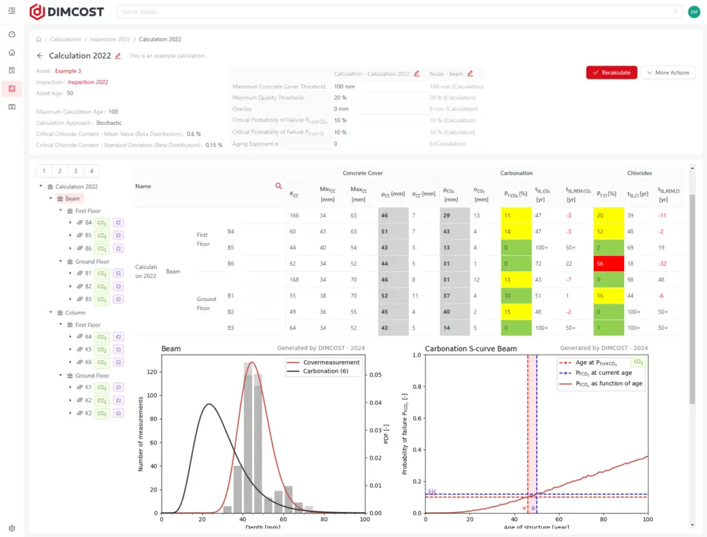
Advanced Concrete Degradation Models: Simulate carbonation ingress, chloride diffusion, and rebar corrosion onset using field data and material science.
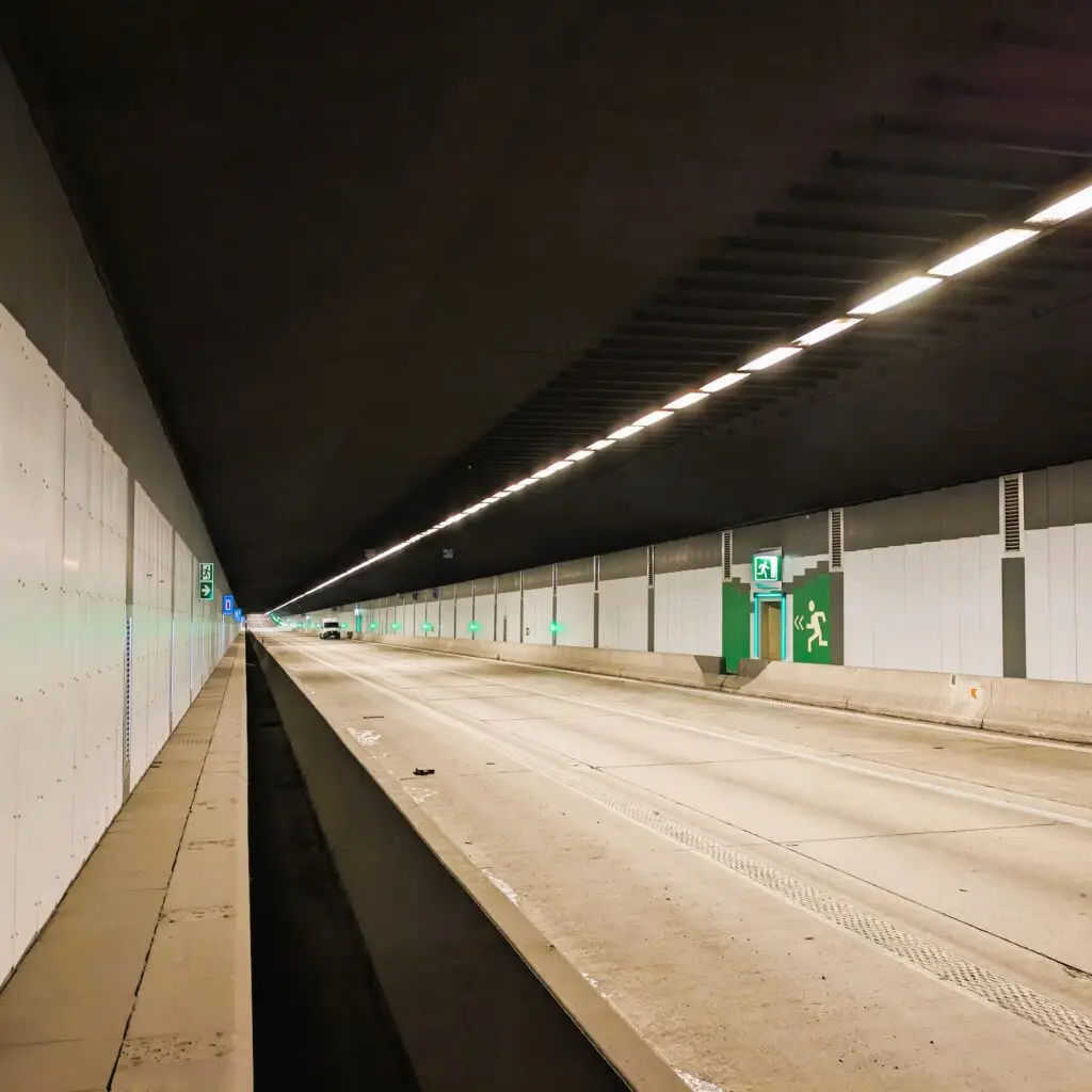
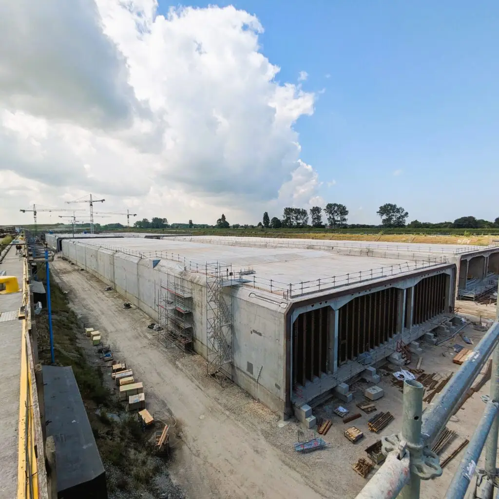
Design Lifespan Verification: Validate and prove 50, 100, or 120+ year service life targets for complex civil works (tunnels, viaducts, marine structures). The engineering part is provided by SANACON.
Smart CapEx/OpEx Planning: Compare “do nothing” scenarios against targeted repair options to optimize long-term maintenance budgets and prevent premature repairs.
Built for industry leaders
Asset Owners & Operators: Move from reactive firefighting to predictive, risk-based maintenance budgeting.
Engineering & Consultancy Firms: Back up durability assessments with validated numerical modeling while drastically reducing report generation time.
Inspection & Drone Teams: Turn raw flight data and field samples into actionable, high-value structural deliverables in minutes.
Use cases
Discover our use cases
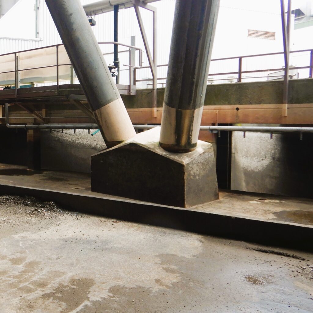
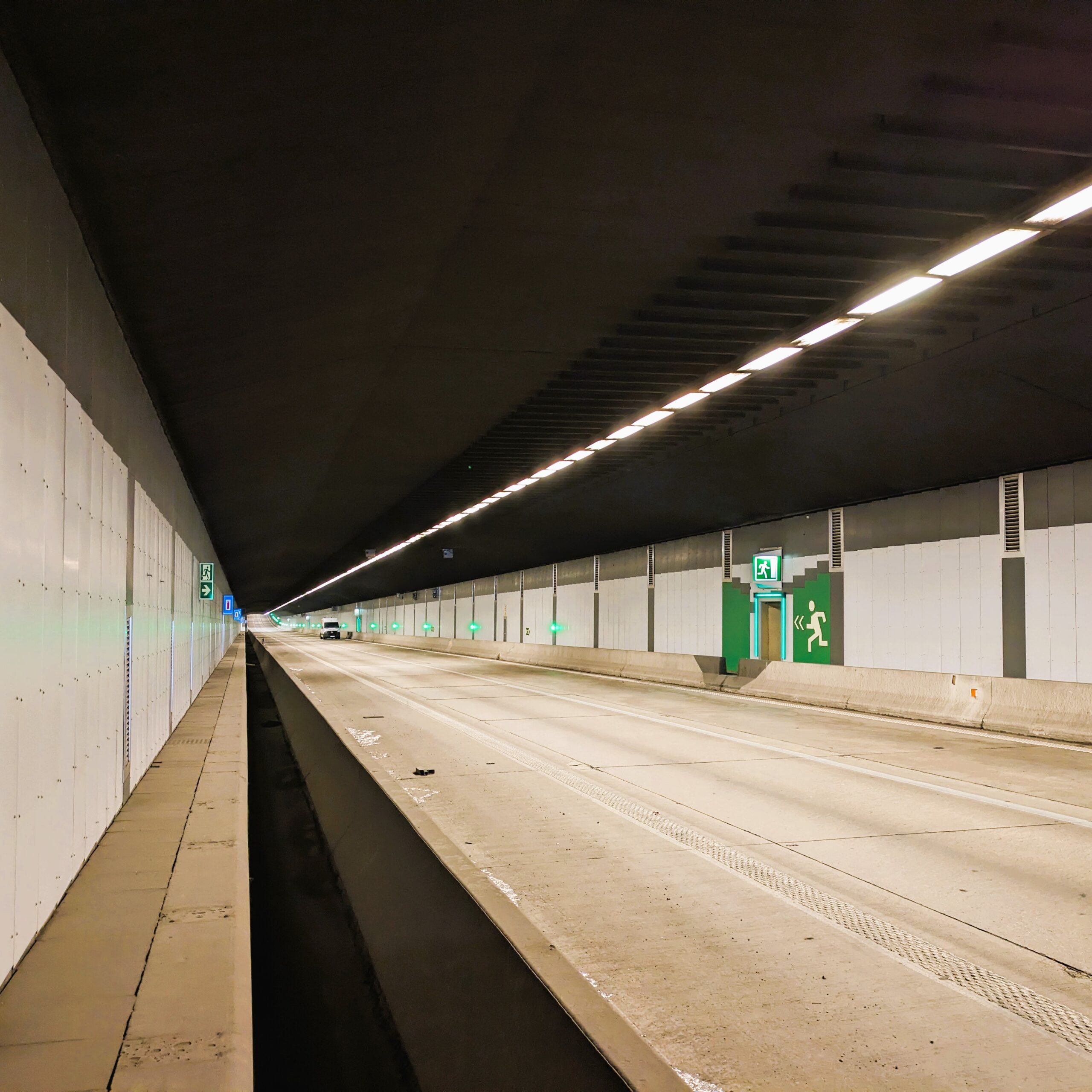
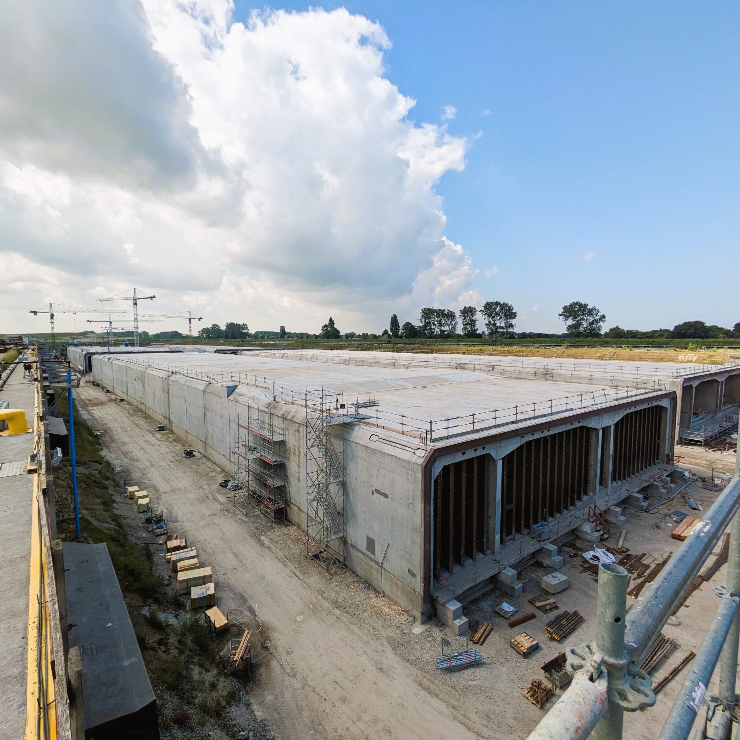
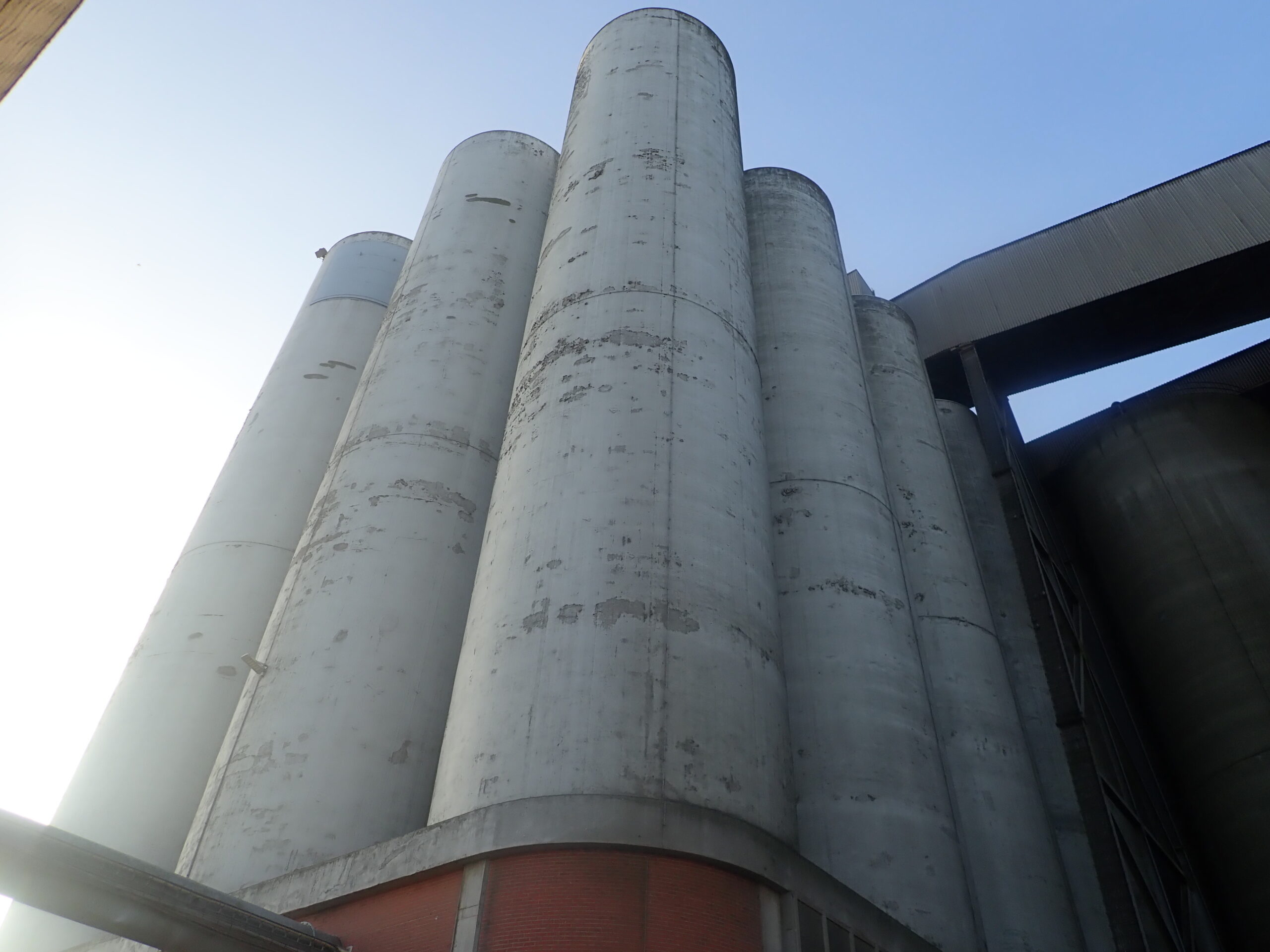
See how asset owners, engineers and contractors use DIMCOST on cooling towers, tunnels and industrial silos.